About
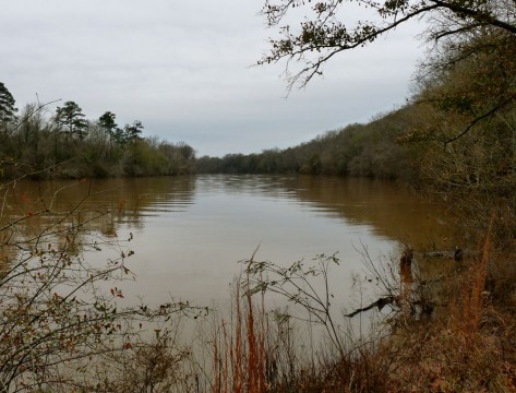
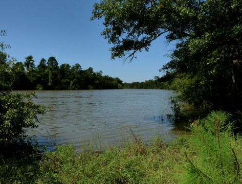
Established in 1786, HugerÍs Ferry was located at the plantation of Isaac Huger, a general in the Continental Army and the son of a wealthy merchant and planter. The ferry became obsolete when McCordÍs Ferry was re-chartered in 1792. Remnants of the road to HugerÍs Ferry are still visible in Congaree National Park. Authorized in 1766, McCordÍs Ferry was located near the northern tip of the Congaree RiverÍs great meander, which was later cut off from the main river channel. The ferry was named after John McCord, a trader to local tribes and captain of a frontier ranger company during the French and Indian War. McCordÍs Ferry was a strategic river crossing during the Revolutionary War. American forces camped near the landing during the siege of Fort Motte and forces were stationed at the ferry to protect American troops laying siege to the fort. A second ferry was authorized in the 1840s as the Congaree River was gradually cutting its new channel. It also was the site of skirmishes during the Civil War. At the time of the Civil War and for years after, these crossings were known as Bates Ferry.