Plan Your Trip
Find points of interest, nearby cities, activities, and more with our interactive map.
Find points of interest, nearby cities, activities, and more with our interactive map.
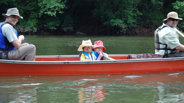
The Wateree River Blue Trail, near Camden, South Carolina, winds 75 miles to meet the Congaree River Blue Trail at Congaree National Park.
The first section is dominated by rocky shoals and changes downstream as it flows through floodplain forests. Its east bank is bordered by Manchester State Forest and Poinsett State Park for the lower third of the trail. Congaree National Park lies on the west side of the river for the trail’s final 10 miles.
As the result of its dedication in 2010, Kershaw County took bold steps to protect the river and its clean water by unanimously passing an ordinance that protects all rivers and streams by requiring a 100-foot strip of trees and plants along the riverbank to limit polluted runoff that flows into the county’s waters.
The Wateree River Blue Trail connects communities to the recreational, economic, and cultural values of their river and protects its clean water.
Can/should we include the following links?
Looking for restaurants, hotels or outfitters nearby?
Use the search below to find local businesses near the river.